Stripping the Earth Bare
Stripping the Earth Bare: William Smith's 1815 Geological Map of England and Wales
August 2015
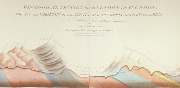
Accompanying the newly installed permanent display of one of the Museum's copies of the William Smith geological map of Britain from 1815, this exhibition displayed a sequence of 15 maps, which show how geological map making has developed over the last 200 years. These maps were selected from the unique and historic collection of geological maps belonging to the Museum and Department of Earth Sciences in the University of Cambridge. They ranged from Smith’s remarkable singlehanded attempt to map the distribution of strata across Britain to the kind of hi-tech geological map which students of geology are taught to make today.

